Freeoid
APK Downloader
search
apps
Apps
videogame_asset
Games
phone
Contact
FREEROID
apps
Apps
Games
Books & Reference
Android Wear
Art & Design
Auto & Vehicles
Beauty
Business
Comics
Communication
Dating
Education
Entertainment
Events
Finance
Food & Drink
Health & Fitness
House & Home
Libraries & Demo
Lifestyle
Maps & Navigation
Live Wallpaper
Media & Video
Medical
Music & Audio
News & Magazines
Parenting
Personalization
Photography
Productivity
Shopping
Social
Sports
Tools
Transportation
Travel & Local
Video Players & Editors
Weather
Widgets
videogame_asset
Games
Action
Adventure
Arcade
Board
Card
Casino
Casual
Educational
Music
Puzzle
Racing
Role playing
Simulation
Sports
Strategy
Trivia
Word
phone
Contact
Search results for " GEC Software Srl "
Supporto GEC
GEC Software Srl
1
Free
Supporto GEC
1
Free
ZigZag
GEC Software Srl
1
Free
ZigZag
1
Free
GEC Resources
Global Evangelical Church
1
Free
GEC Resources
1
Free
QField for QGIS
OPENGIS.ch
1
Free
QField for QGIS
1
Free
Auto Level Civil Engineering
The Indus Developer
1
Free
Auto Level Civil Engineering
1
Free
komoot - hike, bike & run
komoot GmbH
1
Free
komoot - hike, bike & run
1
Free
Sygic GPS Navigation & Maps
Sygic.
1
Free
Sygic GPS Navigation & Maps
1
Free
Mobile Topographer GIS
applicality
1
Free
Mobile Topographer GIS
1
Free
Total Station Tutorial
The Indus Developer
1
Free
Total Station Tutorial
1
Free
Topo GPS
rdzl
1
Free
Topo GPS
1
Free
CAD Reader-View & Measure DWG
Beijing glodon yuntu dream technology co., LTD
1
Free
CAD Reader-View & Measure DWG
1
Free
Autodesk Construction Cloud
Autodesk Inc.
1
Free
Autodesk Construction Cloud
1
Free
GEO5 Data Collector
FINE s.r.o.
1
Free
GEO5 Data Collector
1
Free
Geology Clinometer: GeoCompass
Hung-Hsun Lin
1
Free
Geology Clinometer: GeoCompass
1
Free
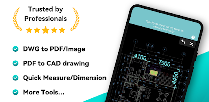
DWG FastView-CAD Viewer&Editor
Gstarsoft Co., Ltd.
1
Free
DWG FastView-CAD Viewer&Editor
1
Free
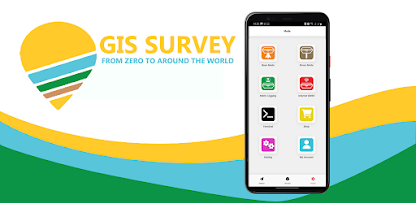
GIS Surveyor - Land Survey and
PoloSoftech
1
Free
GIS Surveyor - Land Survey and
1
Free
Gaia GPS: Offroad Hiking Maps
TrailBehind Inc.
1
Free
Gaia GPS: Offroad Hiking Maps
1
Free
ARES Touch: DWG Viewer & CAD
Graebert GmbH
1
Free
ARES Touch: DWG Viewer & CAD
1
Free
Planimeter: Field Area Measure
CA40
1
Free
Planimeter: Field Area Measure
1
Free
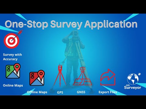
GIS Survey Mobile
TechnoGIS
1
Free
GIS Survey Mobile
1
Free
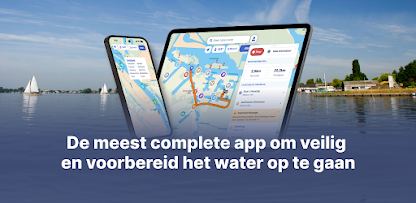
Waterkaarten: Boat Navigation
Biggerworks
1
Free
Waterkaarten: Boat Navigation
1
Free
GnssLogger App
Developed with Google
1
Free
GnssLogger App
1
Free
GEC Mobile
Buena Publica FZE
1
Free
GEC Mobile
1
Free
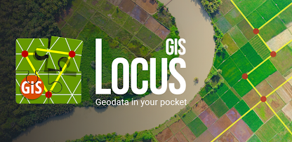
Locus GIS offline land survey
Asamm Software, s. r. o.
1
Free
Locus GIS offline land survey
1
Free
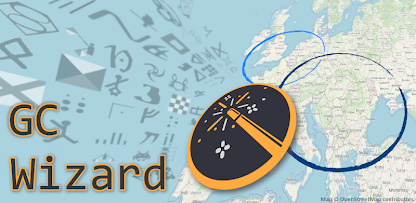
GC Wizard
S-Man42
1
Free
GC Wizard
1
Free
GPS Topography
d3sarrollo
1
Free
GPS Topography
1
Free
BGV Looncheck
CNV Vakbond
1
Free
BGV Looncheck
1
Free
MijnGegevens
Rijksoverheid
1
Free
MijnGegevens
1
Free
GATE Control Station (GCS)
GATE Enterprise Sp. z o.o. Sp. k.
1
Free
GATE Control Station (GCS)
1
Free
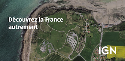
Cartes IGN
IGN - Géoportail
1
Free
Cartes IGN
1
Free
Recent Searches